
General Location:
Ipsden (Nr. Wallingford), South Oxfordshire, ENGLAND.
Directions:
Internet Maps
Click on the "View Larger Map" link above for the facility to create detailed driving direction to the cricket ground.
Sat Nav
For the purposes of Satellite Navigation, the following details may be helpful:
Latitude / Longitude : 51.560157,-1.08741
Nearest Post Code: OX10 6AJ (do not use this as a postal address!)
Ordinance Survey Grid Reference: 463250,185250
Parking:
Please DO NOT park in school car-park, instead park behind pavilion.
Our Map:
A detailed map showing the location of the cricket ground, the pub, the village hall and the church can be downloaded by clicking the button below:
Please note: The map is a "PDF" (Adobe Acrobat) file. A free PDF file reader can be downloaded from the Adobe website here.
The King William Public House:
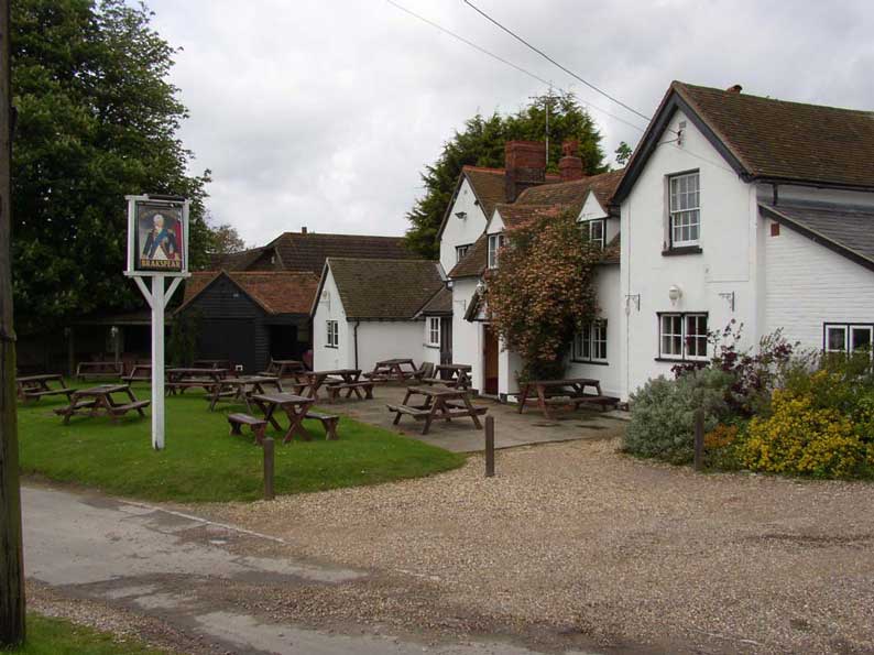 |
For a post match drink we thoroughly recommend the King William. The King William has an extensive range of food and drink (including a range of Brakspear's bitters), large car-park, inside and outside seating and a kids play area. The King William is located in Hailey, just 5 minutes drive, or a 15 minutes walk from ICC. Our map (above) shows the location. Directions are as follows (also shown on our map): |
- On leaving the ground, turn left.
- Take very next left.
- Continue along road, up slight incline, until you reach a cross-road.
- Go straight over at cross-road.
- Take first right (signposted "Hailey"), up slight incline.
- Pub is on left, about 1 minute up the road.